Well, I was all set on a Garmin 60CSX, til a guy on NAXJA posted a link to the Bushnell ONIX400 on woot for $78. I couldn't pass that up. Bigger screen, better resolution, etc... And did I mention $78?
The website software isn't especially user-friendly, and for the life of me, I can't figure out how to download maps directly to my laptop. But I did manage to download them from the site to the unit, and then reload them back to the laptop from there.
That said, here's their view of BigRock Offroad, that I want to map out:
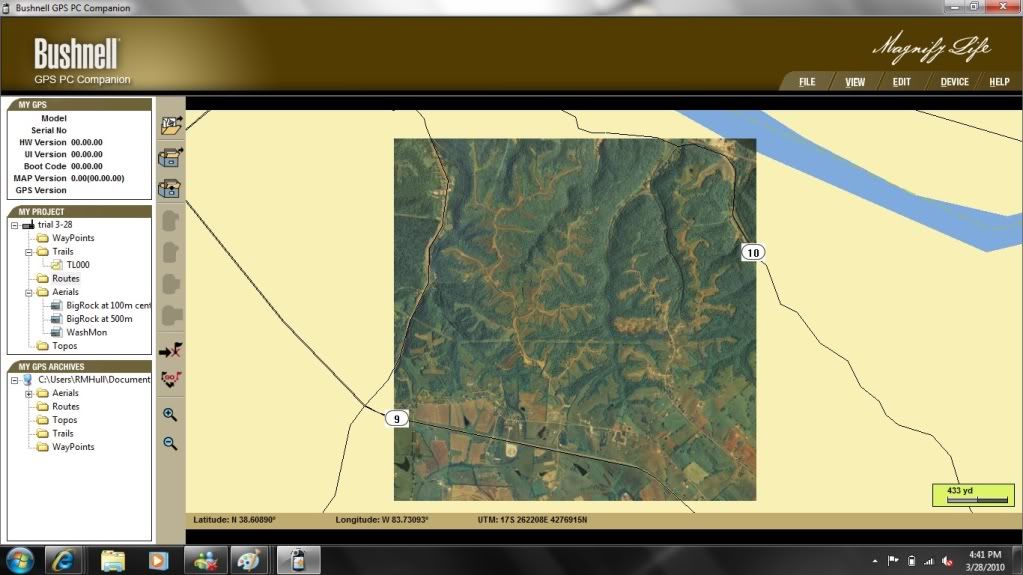
At maximum resolution:
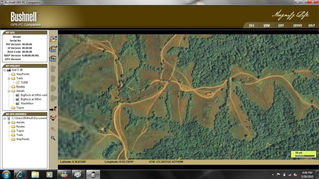
And since the XJ still isn't mapping anything but the garage, this is the "trail" it recorded on my way out to lunch:
You get four free downloads with registration. After that, they're like a buck a piece. The low-res map of BigRock is one, the hi-res is another, but only covers about 10% as much area. I'm guessing I'll need nine hi-res downloads to cover it all. Then another layer for the topography.
I'm lovin' it. Now I just need to pry myself away from it long enough to get the Jeep done, so I can take it out and really use it.
Thanks for the advice, guys!
Robert